
On the warmest day of the year thus far in late May we set off from the village early in the morning with a scheduled eta of just over 2 hours to the car park at Tweed's Well. Passing through familiar towns such as Kelso and the A 699 to Selkirk we took the A 708 towards St. Mary’s Loch before turning right at Cappercleuch along a narrow road which would connect with the A701 next to the source of the Tweed. At the Cappercleuch there is a Grade B listed AA phone box which at first glance I thought was a Tardis.

Heading along this narrow road with passing lay-bys you are rewarded with stunning views of Megget Reservoir and Talla Reservoir. Megget Reservoir collects water from the Tweedsmuir Hills and supplies water to Edinburgh via 28 miles of underground pipelines. My partner was rather anxious as the road descended to the reservoir below with an incline of 20% (1/5), with the word BRAKE!’ ringing in my ear ‘especially as the road sign stated ‘Low gear now.’


Once safely past this road section at Tweedsmuir we headed south along the A701 towards Moffat until reaching the small car park at Tweed's Well.


There is a rock monument and wooden display sign. The white images within the structure have text describing the journey ahead and how to access the source.

Walking back towards Tweedshaws (there is a lot of ‘Tweed’ based names in the area) and then taking the footpath south I used a GPS to locate grid reference NT 0537 1463 which is the source. According to the internet there is a ‘traditional’ and ‘geographical’ location. I traced a stream/burn near Corse Dod until there was no more water so I am fairly confident this is the source or the ‘general area’. The ground is boggy and covered with moss and rainfall from the surrounding terrain would easily saturate this area after a downpour. Tributaries feeding the Tweed along the way give extra volume of water and have created a wider and deeper river over the millennia to its mouth in the east.


‘Every journey begins with a single step’ - Lao Tzu
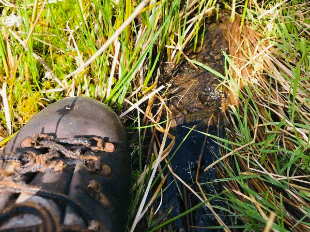
Standing next to a spring at the source.
‘These boots are made for walking’ and mine have since be replaced.
Thinking back to the Reverend Rob Kelsey's comments there is definitely something spiritual about standing at the start of the river.
‘Tweed's Well at Tweedsmuir had become holy through the sacred associations of baptism, or equally holy from grateful benefits derived from mineral qualities.
C B Gunn 1930.’

Norham is now to the north east in this direction, about 56 miles as the crow files and over 80 miles of river course. Using rudimentary mathematics and based on the water velocity estimated between 0.25 m s and 1.00 m s, I predict it would take around two days for water from the source to reach Norham? (Much quicker if in spate.)
Heading back towards the car park on the A701 by rotating 180 degrees from the source, the River is now is starting to take shape.
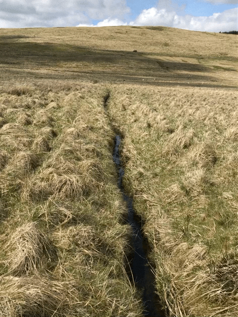

One of the first bends in the river.

Looking north towards Tweedshaws.
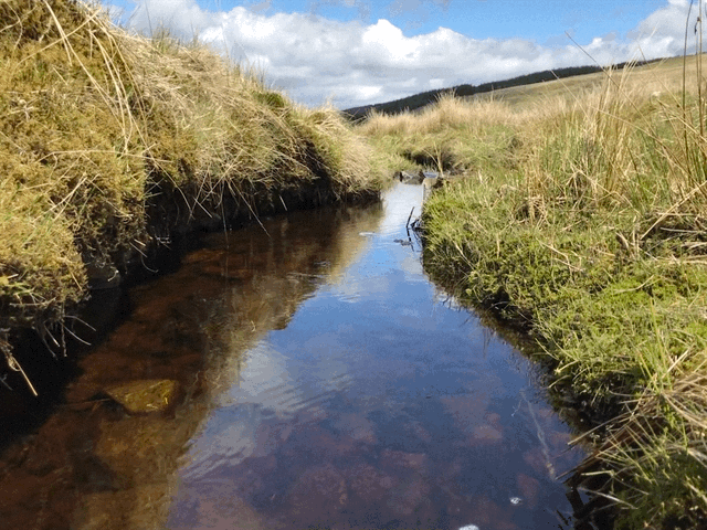
A burn, which feeds in from the left and the calm past it.
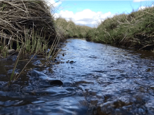
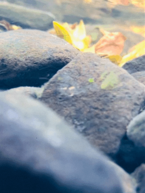
A risky underwater image taken on a mobile.
Now back on the road section towards Stobo Castle one of the first river signs can been seen at the bridge in Tweedsmuir.

Viewed from the road the river has carved its route out along the landscape.

Taking a right turn on to the B 712 is Stobo Castle which is the start point for Part 2. We turned around and headed back on the A 701 towards Moffat taking a photo from the view point over Devil’s Beef Tub. The source of the Tweed is roughly behind where the white arrow is pointing. Depending on where a droplet of rain falls it will eventually end up in a river that feeds the sea on either the west or east coast of the country, with the Tweed being in the east.

Reconnecting to the A708 passing the spectacular waterfall at Grey Mare’s Tail and again along St Mary’s Loch where there was a low flying Hercules before arriving back in Norham early evening. With excursions just under 200 miles by car.


Due to the stunning scenery for ‘Kodak’ moments and traffic delays, the eta on the satnav was duly ignored!


Part 2 Now available - click,