
For Part 3 of my Journey along the Tweed glorious weather was predicted and the forecast was fortunately correct. The location for parking the car resulted in a spectacular location which will be at the end of this blog. This section is 21 miles again doubled to 42. The outbound leg to Innerleithen took just over two hours. Arriving at the start point of Part 2 at just gone 10.00am I had an estimated finish time of 1.30pm but this would be delayed somewhat due to an incident later in the blog.

Walkerburn village near the start. Using cycle network 1 heading east and after a short climb I was rewarded with wonderful views of the river below in the Tweed valley. The road was quiet except for cyclists and the occasional car as the majority of vehicles tend to use the faster A 72 on the opposite side of the bank.


I could not see this stone inset in the photo so assumed it was a marker for someone’s drive. At the top of the incline I could hear a car approaching so I pulled over to let it pass. It was a police car or Poileas if you are in Scotland. As the road now descended I was travelling at about 30 mph so caught him up but decided not to try overtake. I now took the right turn along the track towards Yair.

Ultimately people are responsible for their own actions, but I strongly recommend not taking a road bike along the track as your tyres would be destroyed. Even with my front suspension on it felt like operating a pneumatic drill. The outward section was fine and travelled along it at great speed. However on the return leg is where the delayed occurred as mentioned at the start.


A short way along the track I could see a small group of cows in the distance with their young. Understandably they are protective so I kept a respectable gap and decided to use the local services for an early lunch.

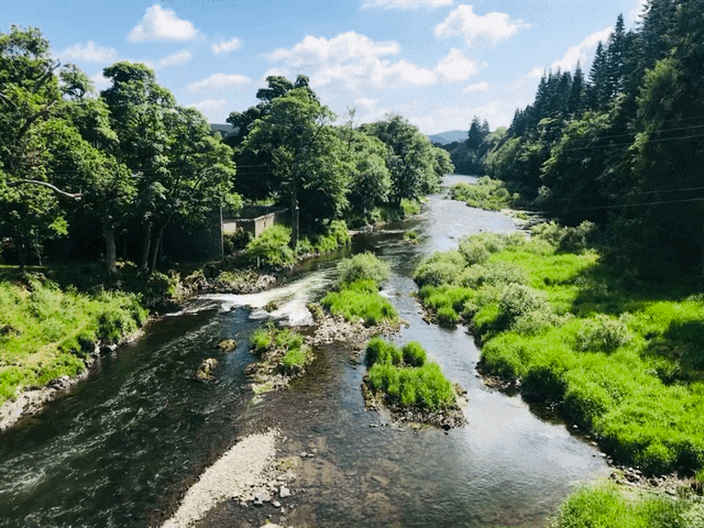
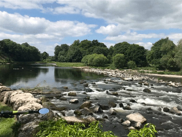
After half an hour I continued only to catch up with them again. As they approached a bend I noticed a footpath to left which I assumed would cut of the corner and therefore enable me to get ahead of the herd. I raced along this path but eventually it was too overgrown and I fell off in some nettles. However I was rewarded with a picturesque view of the river.


I retraced the path back to the track where fortunately the cattle then decided to turn off into in a field. I think for them it was a case of the grass being greener on the other side and as this was on estate land the animals had a right to roam.

After about an hour’s delay I exited the estate which had lovely garden including the classified invasive weed the rhododendron. There was also a clever bridge over the track connecting the gardens.

Even cyclists must obey traffic lights. A Kodak moment taken from Yair bridge below.

On route to Melrose, is this tractor a 1 in 10? But being a farmer he is not a statistical reminder!
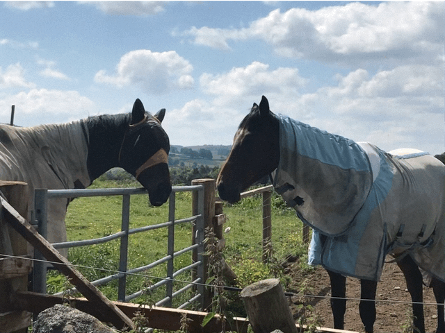
Why the long face? You obviously haven’t read some of the puns!
As the B 7060 descends towards the busy A 7 a racer bike overtook me just before Tweed Bridge. I used this well used shortcut on to the cycle track below and once he had crossed the road he seemed surprised I was once again in front. He then overtook and sped off in the distance.
At this point I was now starting to feel drained so stopped for a rest and a drink.

Cycle network 1 underneath the busy A7 Tweed Bridge at Melrose.

If you haven’t a map or gps just follow the blue signs with a red one east back to Norham. The Royal Bank of Scotland has funded over 1000 mileposts along the cycle network.

If you are ever feeling deflated stop by here to get pumped back up.

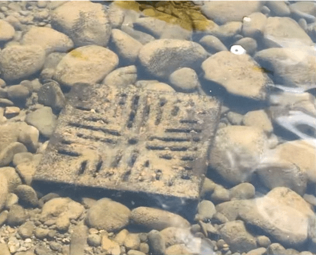
Some sort of river works underway.

I thought I would publish this end of the line station of Tweedbank online.

Berwick is now 46 miles away so just over half of my overall journey has been completed.
Two churches in Melrose which have wonderful architecture.


Two of the Eildon Hills summits in the distance behind the grounds of Melrose FC. I intend to walk the Eildons and create a discovery blog soon.

Before getting to Melrose Abbey I decided to get a photo of the Tweed here and the pedestrian chain bridge that crosses the river.
A couple of photos of the impressive Melrose Abbey which is maintained by Historic Environment Scotland and Robert the Bruce heart is buried there. Below is a link to the Abbey which provides further information and how to plan a visit.


As I exited Melrose cycle network 1 uses a short section of a now redundant tarmac road which passes Rhymer’s Stone which was erected in 1929 by the Melrose Literacy Society, which marks the spot of the Eildon Tree under which legend says that Thomas The Rhymer met the Faerie Queen.


A Church of Scotland in Newtown St. Boswells.

We could do with a few more of these pedestrian/cyclists crossings on the A1 like this one seen on the busy A 68.
The cycle route now crosses the Tweed onto the north bank via a pedestrian/cycle bridge. Although cyclists have to dismount as you walk across it becomes particularly bouncy as the man and his two dogs discovered mid bridge.


Once over the bridge I made a brief visit to The Temple on Bass Hill. Click on the image below right to expand the text on the plaque.


Not sure whose behind bars here me or the bovines?
I stopped by at Dryburgh Abbey and unfortunately it was closed due to Covid. See below link for further information. The photo below is of the entrance gate.

My car was parked nearby near the fantastic Wallace memorial which I visited before driving home with stunning views of the Eildons in the distance.


The impressive Grade B memorial statue of Sir William Wallace which is 31 ft high. Apparently the trees were cut down in front of him giving the dramatic view above. See below link for more information.
There is so much to discover in the area which cannot be covered in one day. Planning ahead for Part 4 I have noticed on the OS maps Smailholm Tower , which incidentally a fellow member of the MMRC was on a cycle recce for the group only a few miles away from me and Scott's view are in the area so I will try to include them. Jim Blythe has informed me that about 5 years ago he cycled the whole of the Tweed route in one day which is impressive and had fish & chips at the coast. I have a few more sections to complete before I have earnt mine!
If you have enjoyed this or any blog on the site, consider ‘like, share, comment and subscribe.’
Part 4 - Now available - click,